From the Mining Museum of Milos and on a south / southeast route, you meet after 2.3 km on the coastal road of Adamas a central crossroads. Turn left onto Zephyria , from where the route will unfold.
Adamas, which had already been colonized by Cretans (Sfakians).
In the center of Zefyria dominates the church of Panagia Portiani (P1) . The exact date of its construction is not known, but it must be traced back to times before 1576, as stated in an inscription.
Leaving Zephyria and its large plain behind, the dirt road follows the Lagada ravine, almost next to the torrent bed.
On the slopes of the ravine, you will also notice in many places, galleries where white kaolin was mined. Due to the content of iron oxides, the kaolin of Milos does not show much whiteness. However, in the past, when kaolin was used on a small scale for ceramic applications, most of the white kaolin appearances were sorted through galleries.
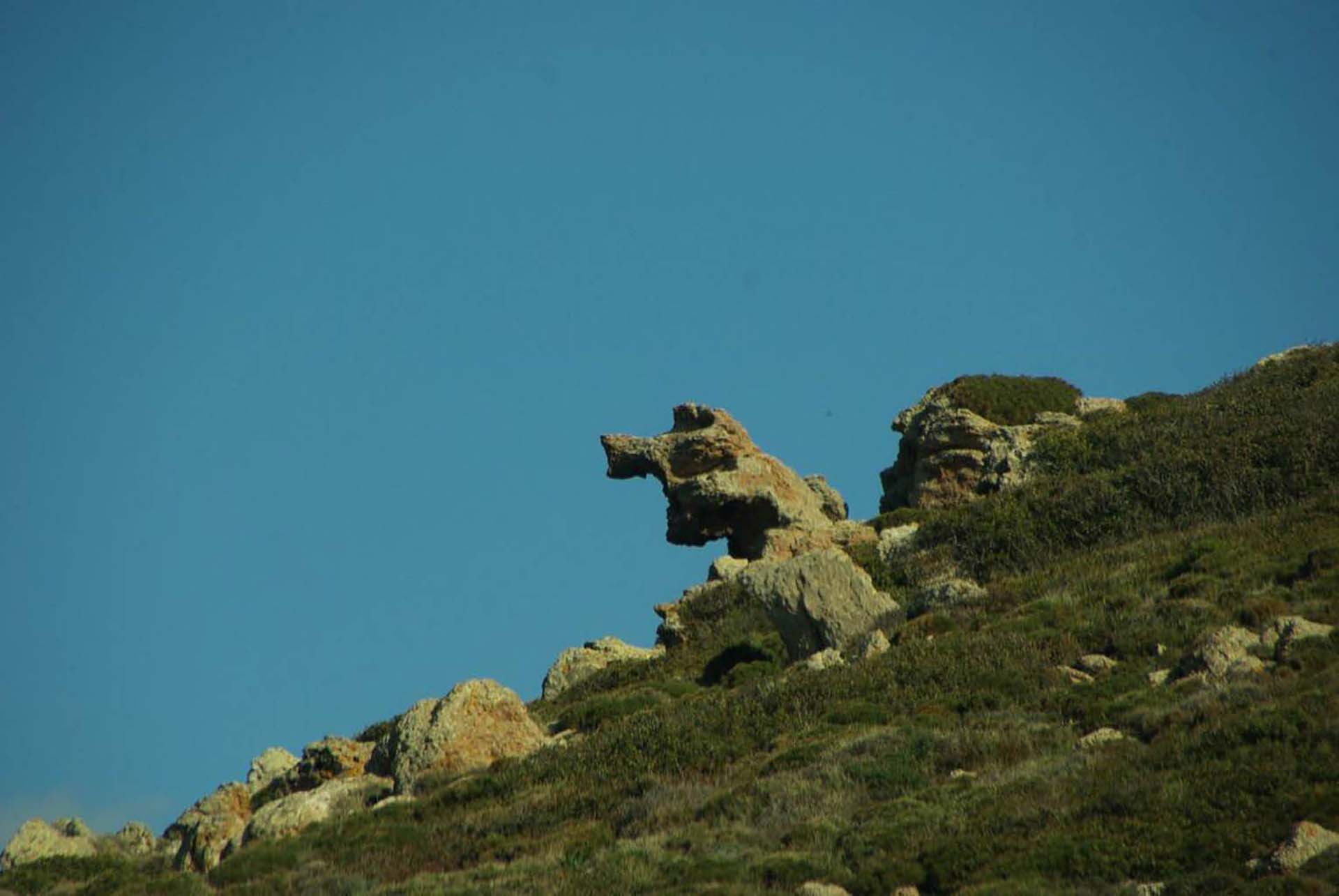
On the main dirt road, you can see large rocks in strange shapes on the surrounding slopes. These noches, sometimes resembling open-mouthed animal heads, are created by the erosion caused by sea air when it falls on hard volcanic rocks.
Going down the passable dirt road to the Sulfur Mines, you will notice that the vegetation is very degraded.
At some point, on the left side of the road, you will see a simple monument, a small marble slab. At this point one of the operations of resistance against the German occupation troops took place on 23/12/1944.
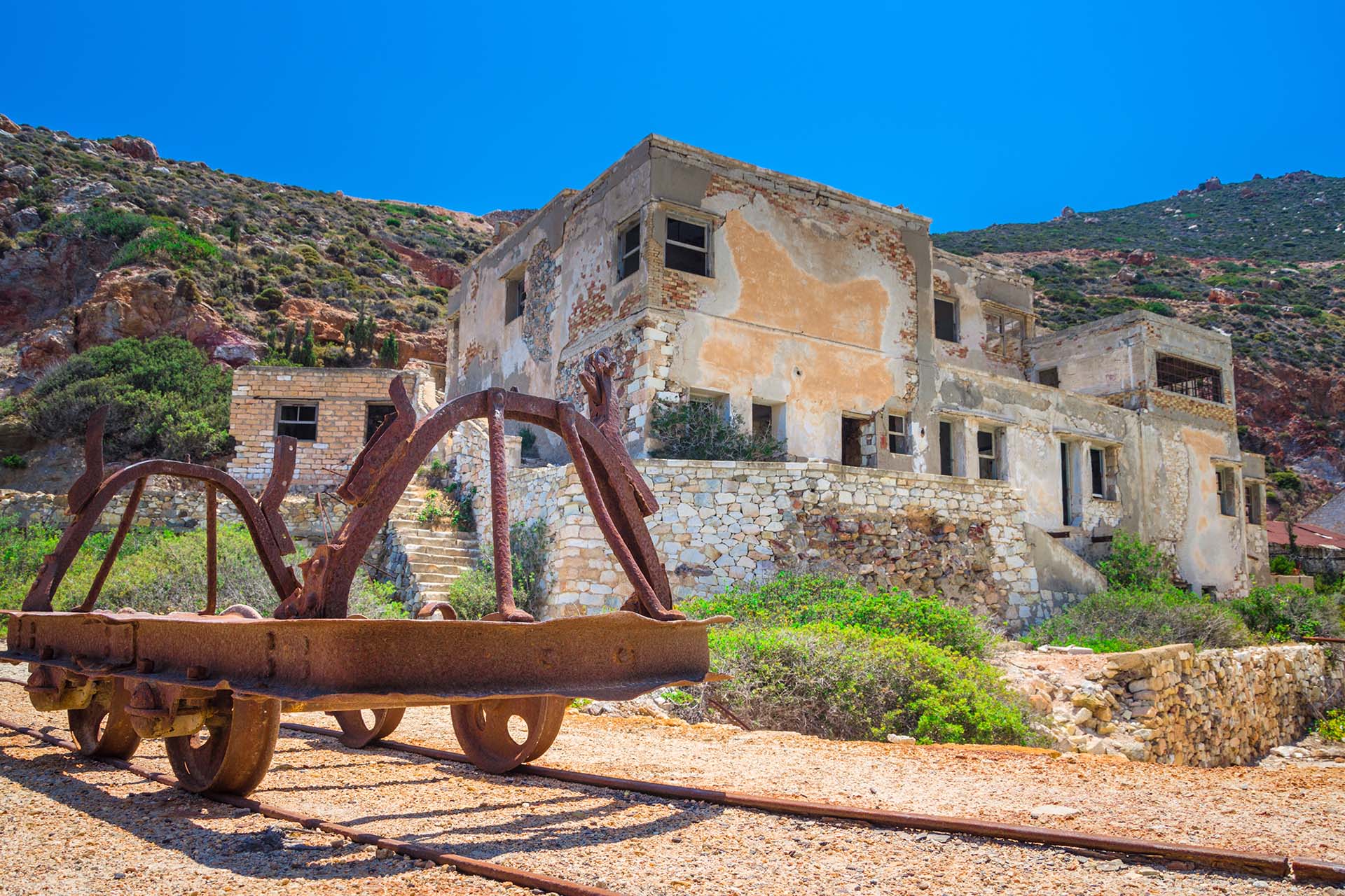
From the monument onwards, the dirt road descends to the slopes of the ravine of Palioremata and ends at the old Thiourychia (P12) , the most important attraction and final destination of this route.
The Sulfur Mines is the only industrial complex of Milos that has been designated as protected. By decision of the Ministry of Culture, it has been designated a historic site and an important sample of industrial heritage in which the architecture is combined with the requirements of the production process.


