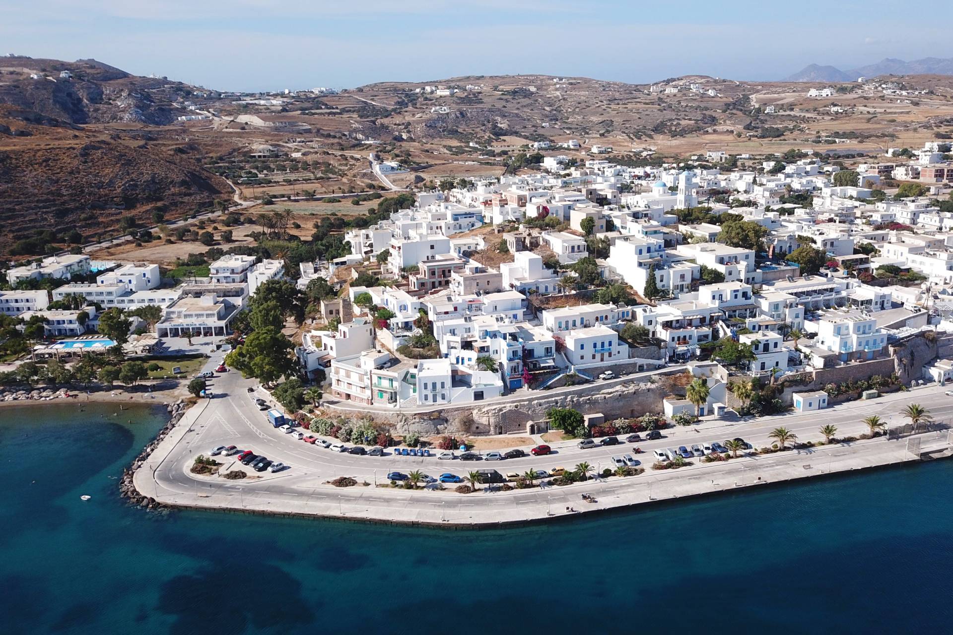
The port of Adamas is the starting point. Following the main road to Plaka to the north, at 400 m. Turn left on the vertical road, where you will see the relevant Miloterranean signage. About 200 m later, turn right onto the uphill concrete road.
About 1.2 km after the last junction, at the top of the uphill, turn left onto the narrow dirt road. It is the first of the 3 suggested side routes. After about 100 m you can leave your car on the plateau and continue to the south, crossing for another about 150 m on foot the small plateau where wheat and barley used to be grown. The whole area up to the southern slope of the hill is called Nychia and is one of the two prehistoric quarries of obsidian (or obsidian) on Milos north of Cape Bombarda.
After returning, continue on the main route in the direction of Tripiti. The rocks from Nichia to Tripiti are tofites formed from older pyroclastic materials altered in the marine environment, as evidenced by the presence of marine fossils.
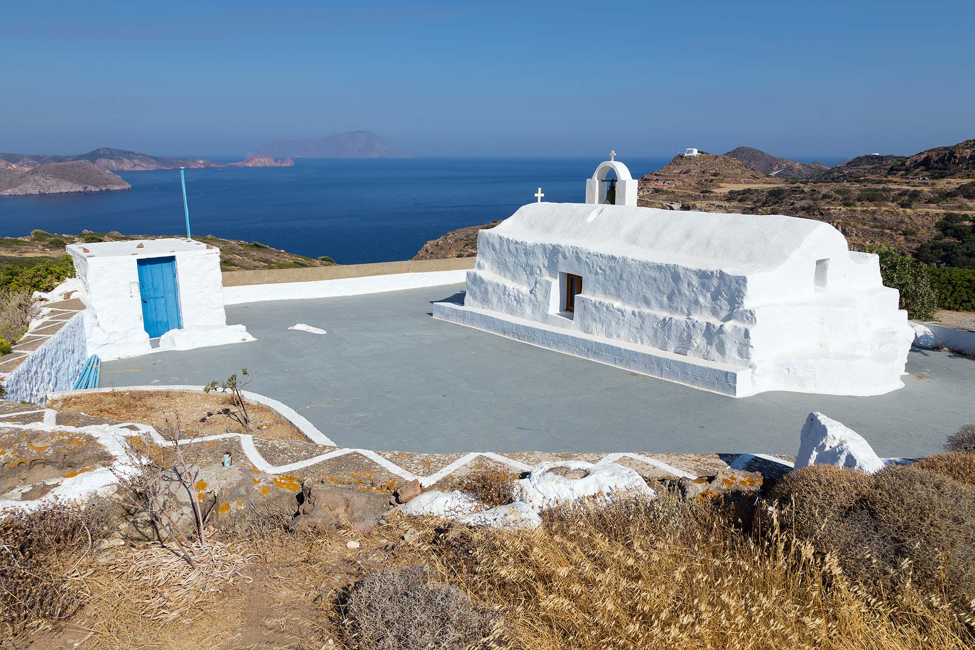
About 350 m below you will find the junction to Klimatovouni on the left. It is worth taking this 2nd small side route, cross the picturesque settlement and follow the narrow cement road to the west to the end to visit the old chapel of Panagia Tourliani, a magnificent “balcony” with excellent views to the west Milos, the bay of Adamas and Antimilos.
After returning to the main road you continue north / northwest and reach Tripiti. The downhill concrete road stops after 700 m in a parking lot, from where you continue walking among age-old olive trees to go to the catacombs.
Leave the plateau-parking lot of the Catacombs and at 100 m. Turn left on the passable dirt road, following the signs to the archeological site. A few meters below you will see the sign that marks the place where the famous statue of Aphrodite of Milos was found. After 400 m. The dirt road ends in front of the ancient theater of Milos.
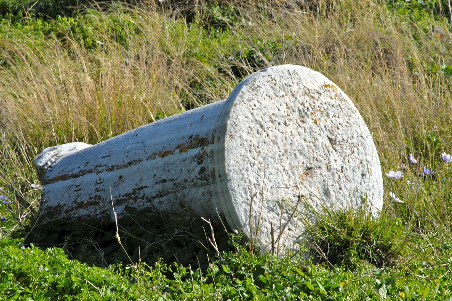
From the ancient theater following the dirt road backwards and on a plateau to your left, about 100 m before leaving the Catacombs road, leave the car and follow the Miloterranean signage to visit the area where ancient Milos was built . This marked path is the third proposed secondary route with a total length of 850 m that descends to the area called Tramythia.
At about 180 m from the plateau, you are at a point where the dirt path splits. Following the path on the left, make another small deviation of 150 meters – in the 3rd secondary route – to climb to the chapel of Prophet Elias that dominates at the top. The view across the area is excellent. Going back again, the marked path now descends to the shore and ends at the chapel of Agios Nikolaos.


