Route 5 has a total length of about 17 km (including the 1.5 km long secondary route that leads to Skiadi, one of the most impressive sights of Kimolos) and you can enjoy it as a full day hiking trip lasting 7-8 hours, along with resting postures.
If you are by car, continue on the new wide road that was opened to connect the port with the Village. At about 450 m. From the crossroads of the village the cement road stops and now you continue on the passable dirt road that ascends to the hill of Lembounia, and offers a wonderful view to the interior of the island.
A few meters before the chapel of Agioi Anargyroi (18th century building), next to the road you will see an “amburdeki” (umbrella maker), a large natural pit in the rock, which the locals have opened even more, where its waters are collected. rain forming a small pond, from where the animals drink water.
About 900 m. After the chapel of Agioi Anargyroi you reach the area of Seladi. From this point (there is also signaling of MIloterranean) begins the path to Skiadi, a relaxing and very pleasant hiking trail on a walkable path, through very beautiful landscapes.
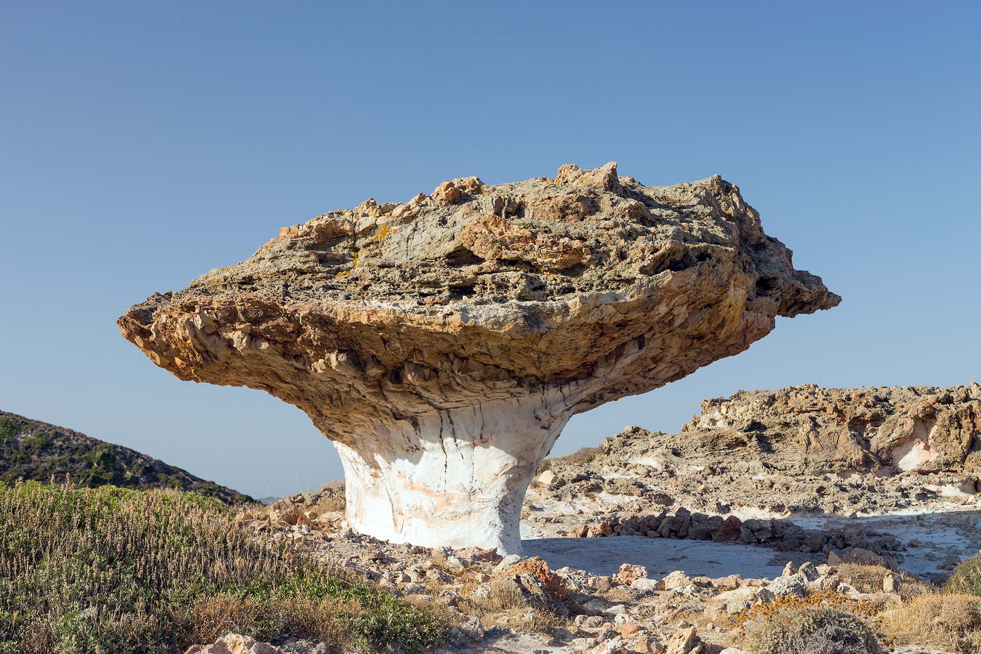
After a total distance of 1.5 km from the beginning of the path, you have reached Skiadi , a unique geological phenomenon, of which the inhabitants of the island are proud, and which stands out from away, like an impressive, stone, volcanic umbrella. A “hat” of coarse-grained porous brown ignimbrite “sits” on a “neck” of the underlying fine-grained white tuff. Slightly siliceous pieces of the upper formation have allowed the upper part to resist atmospheric corrosion more than the underlying formation, resulting in the creation, over time, of this unusual “mushroom”. You can admire this work of art sculpted by nature, but it is best not to climb on it, both for your own safety and not to be destroyed.
Time to return to the junction, continuing on the main dirt road that leaves to the southeast, following the Miloterranean signage.
To your right, towards Xaplovouni, you see in the distance an attempt to extract perlite. About 600 m below you will find a point of the road where you have a view to your left, to the north, in old mining galleries in the area of Siderokapsia, as well as in the active bentonite mine, in the area of Prasa.
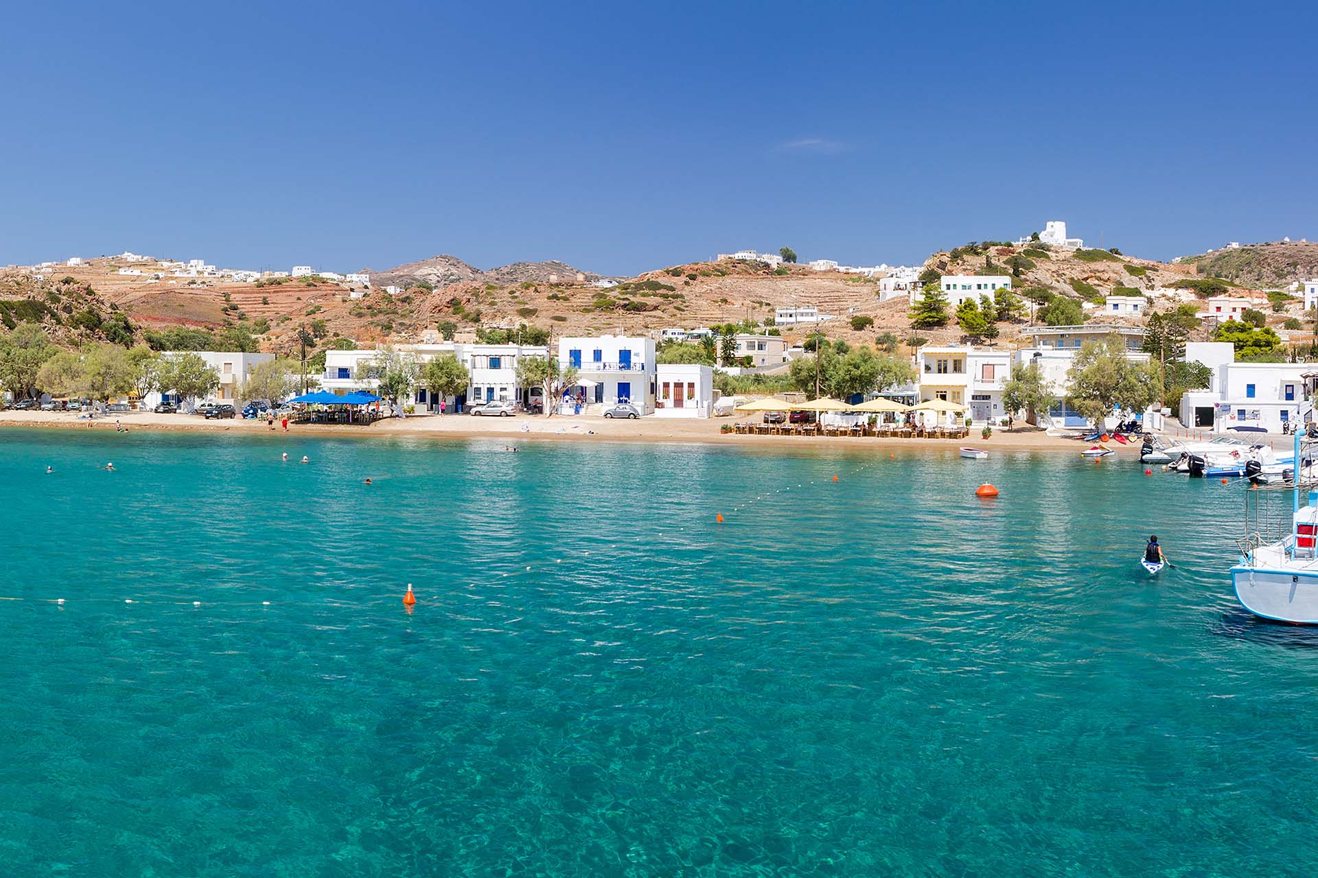
Continuing a little further on the main dirt road, you reach the coast, in the area where the port is located and the small settlement of Agios Minas , which took their name from the church of the same name. From Agios Minas the road returns to the Village and from there to the port of Psathi.


