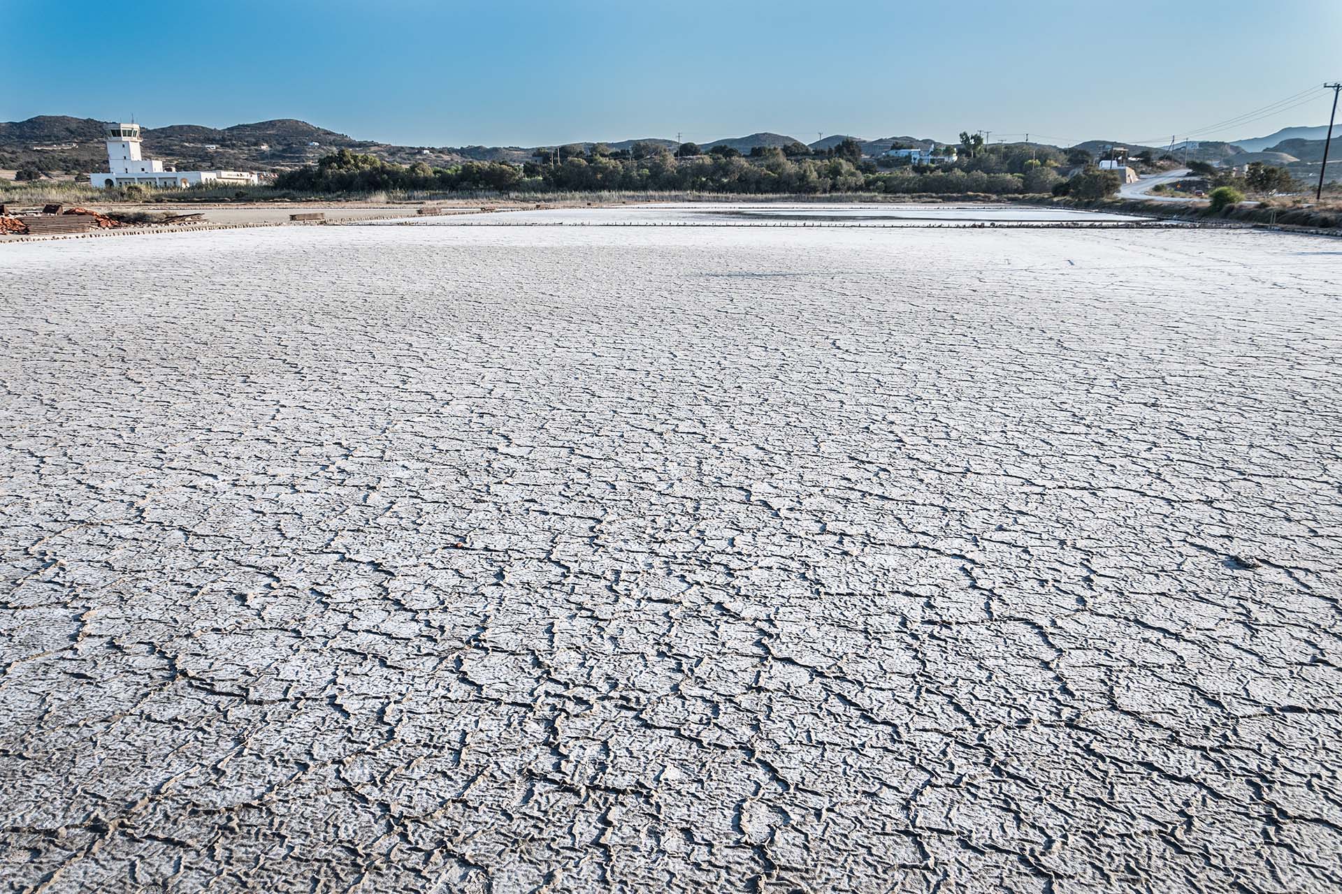
The starting point of the route is Alykes (or Alyki), which since 1981 ceased to operate.
Milos Alikes consists of flat, shallow coastal basins that are divided into individual compartments (pans). In them, seawater circulates successively, which, after evaporation, allows the salt (NaCl) it contains to crystallize.
As you continue along the coastal road in a southwesterly direction, and as soon as you pass the airport junction on your left, you will come across a temple-shaped monument, built in memory of 14 Milia executed by the occupation troops during World War II. From the number of executed, the monument and the whole surrounding area are known as “Fourteen”.
Right after the church, leave the main road and turn left on the uphill asphalt road, which after a while becomes a passable dirt road. In fact, you are driving on a soft layer of perlite that looks like sand. You cross rural areas with olive groves and vineyards, but also fields where cereals are grown.
As you ascend the passable dirt road, you reach the forest with the cedars. Cedar is one of the three local conifers of Milos.
Continuing south, leave behind the cedar forest. Now, the slopes of the hills are covered with low vegetation, with predominant species resistant to grazing. Just below, you pass by the chapel of Agios Athanasios , a modern chapel built in a private area.
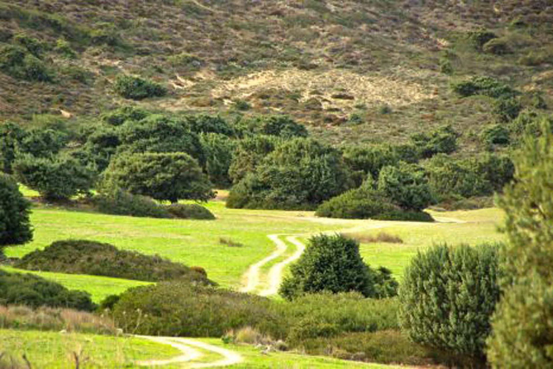
About 700 meters after the chapel of Agios Athanasios, at the point where the road turns east, you will face in front of you and then you will cross the Kedrolivado , a large meadow with scattered centuries-old cedars.
Descending from Kedrolivado, you cross the hillsides where you will see many “puddles”, or artificial pits created by breeders to hold rainwater.
At this point you can enjoy the beautiful view of the Zephyria . The name Zephyria in ancient times was one of the names by which the island was known. Pliny the Elder in his Natural History mentions that Aristotle named Milos Zephyria (which is etymologically associated with the westerly wind, Zephyrus), as it belongs to the western Cyclades.
Reaching the junction at the point, continue south and cross the most exciting part of this route. The huge sinking of the ground in front of you is the crater of Fyriplaka, with a diameter of 1,700 meters and a depth of 200 meters. It is a pyroclastic cone, of the same age as the crater of Trachilas on the north side of the island, ie the Middle-Upper Pleistocene (480,000-90,000 years ago). You can observe layers of ash, sand and perlite fragments of rhyolite composition, in continuous alternations.
In the sections of the road you can see layers of pyroclastic deposits, mainly sands, which are indications of underwater sedimentation, as, in some of its periods of activity, the volcano was below sea level. After all, from this volcano come the great currents that formed the perlite underwater.
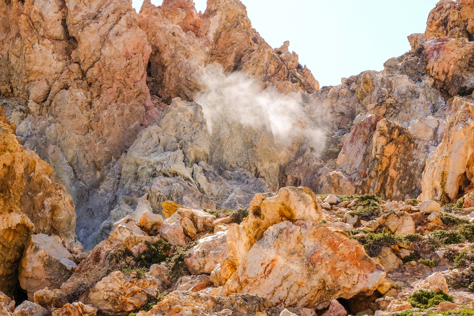
Arriving at the southernmost point of this route, at Kalamos , you will see the old kaolin mining galleries. Kaolin occurrences are located on the outskirts of the volcanic cone of Fyriplaka, where the pre-existing volcanoes have undergone intense alteration by acidic solutions created during the release of hot vapors rich in hydrogen sulfide. At the vapor points, the clear, well-formed yellow crystals you see are deposits of native sulfur, which is formed by the oxidation of hydrogen sulfide in the atmosphere.
From the area of fumes, and even better from the top of the hill a little further south. The beautiful beach that you see just east of Cape Kalamos, is the beach of Agia Kyriaki , one of the most touristic on the island.
To continue the route, follow the same road in reverse to the point of intersection, where you continue straight (north), descending to the passable dirt road through the ravine. At one point you will see the “Fleets”, old buildings from water intake facilities built by the Municipality of Milos for the water supply of the island.
Continuing north, you will see in the hills, to your right and left, sparse clusters of cedars, agricultural areas with olive groves, fields where cereals are grown and summer vegetables. After Kampos, the dirt road turns east and bypasses the airport of Milos.


