From the starting point of the route Adamas, drive to the coastal road in an easterly direction, and at about 500 m, you will find the Mining Museum of Milos .
Immediately after the Mining Museum of Milos, begins the picturesque beach of Papikinou, whose natural extension reaches up to Alykes.
Continuing south, about 2 km from Adamas, you meet the “Milos-Georgios Iliopoulos Conference Center” ) . This is the restored building of the old kaolin processing plant.
As soon as you leave the Conference Center, and about 500 meters before you reach the port facilities at Kanava , notice the formations at the left of the road at the foot of the hill at a distance of about 70 meters, which are almost all of them are porous tuffs, alternating with terrestrial tuffs. Their color is reddish brown due to the leaching of iron oxides.
Following the coastal road, just before the island’s airport, you reach Alykes . Here, there are the old salt production facilities, through natural evaporation of seawater. Today they have been abandoned and are an important wetland.
Next on the road you will notice the “sugar” lava, which is particularly broken into large and smaller blocks. It appears from the location of Mavra Gremna to the beach of Achivadolimni.
Achivadolimni is an important wetland for the bird fauna that gathers a seasonal number of birds.
From Achivadolimni to Agia Marina, rhyolithic-rhododendron lavas with perlite or glassy texture appear. The age of its formation is placed in the Lower Pleistocene (1.1 – 0.9 million years ago).
The church of Agia Marina and the surrounding facilities have been built with local volcanic rock, lava and tuff. Impressive is the marble lintel in second use with date 1616
On the route from Agia Marina to Xerokampos there are continuous alternations of tuffs and andesites, mainly altered. Both tuffs and andesitic lavas are 2.7 – 1.6 million years old (Upper Pleiocene).
A little further down, in the area of Mersinia , there are old galleries of kaolin and barite mining.
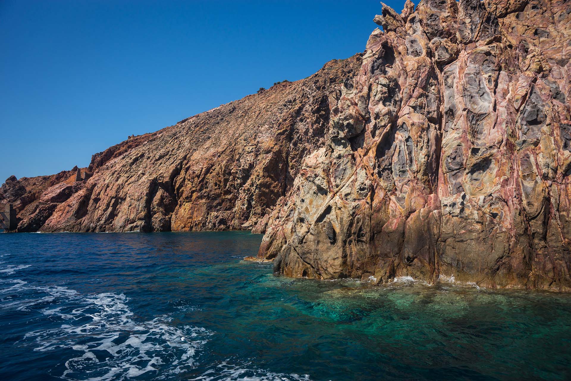
Continuing north, towards the cape Vani and the mine of the same name, you start to see hard volcanic rocks, andesitic lavas and low vegetation with plants of Milos as well as noches which have been formed by the erosion of the rocks by the strong wind which contains salt.
Old galleries and open-air farms are visible on the beach of Agathia. The old port facilities have also been saved. The beach has easy access and is recommended for sea swimming. From Agathia you return back to Mersinia.
Continuing south, on the main dirt road, you reach the shallow sea at Rivari , where there is a beautiful beach. It is formed by sand deposits between the rocky outcrop of volcanic tuff.
Finally, going up to the Monastery of Agia Marina, you exit again on the main road and complete the route.


